Where is Svalbard?
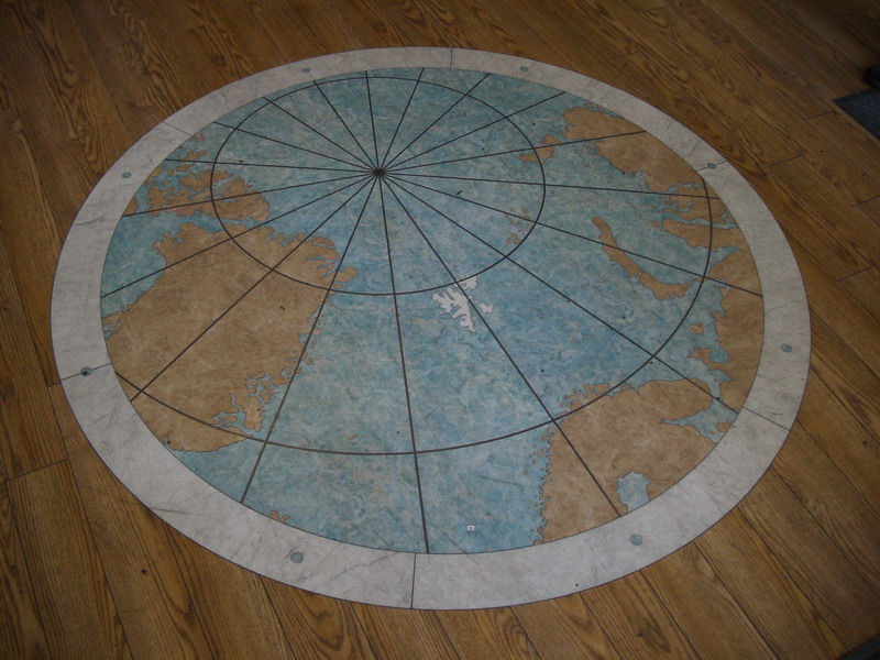
The map on the floor of the Radisson SAS Polar Hotel shows the island archipelago of Svalbard (‘Cold Coast’) in white.
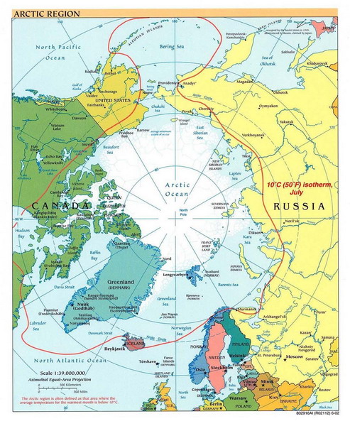
Map of the polar regions
Svalbard can be seen between Norway and the North Pole.
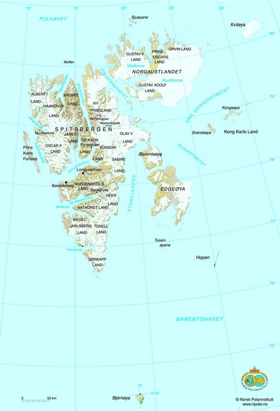
Map of Svalbard
In the middle of Spitsbergen is the administrative centre of Svalbard. This is Longyearbyen. North of Longyearbyen is the Russian mining town of Pyramiden abandoned only a few years ago with everything still in place including books in the library. I visited Barentsburg, which is still an active Russian mining community.
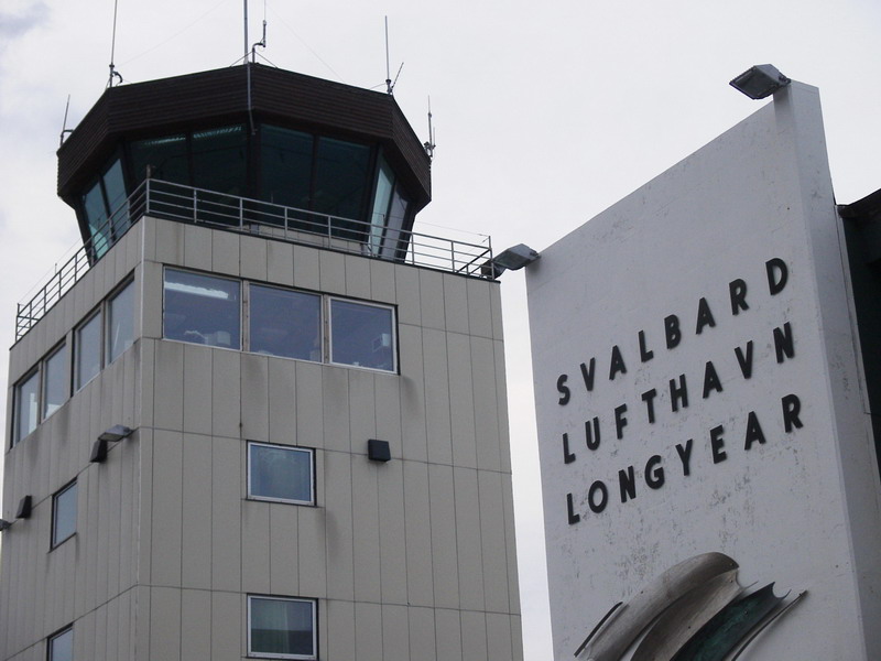
World’s most northerly commercial airport
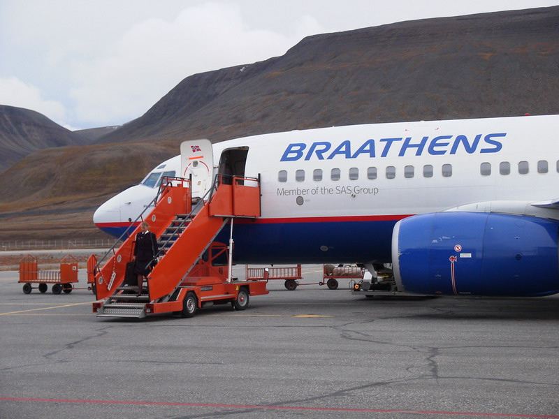
Longyearbyen is home to the world’s most northerly commercial airport. The flight from Oslo stopped halfway at Tromso.
Getting off the plane
The temperature was a ‘pleasant’ 5 degrees above zero (Celsius at least). …and this was August!
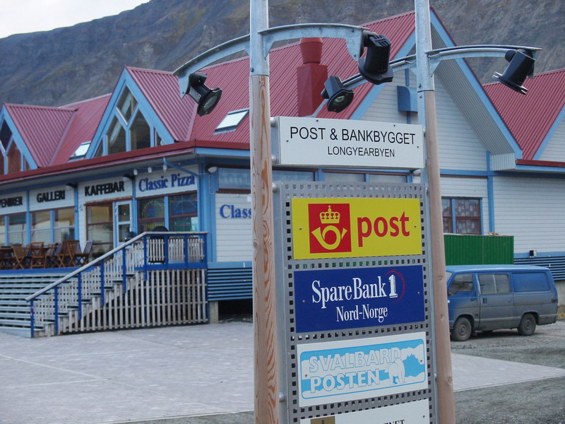
Grand metropolis of Longyearbyen
Longyearbyen has a total population of 1500 mainly comprising those who work for the mines and the tourist industry. All those approaching retirement settle back in the mainland as the infrastructure in Svalbard cannot cope with the elderly.
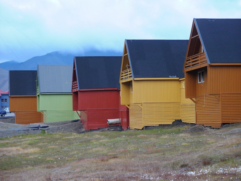
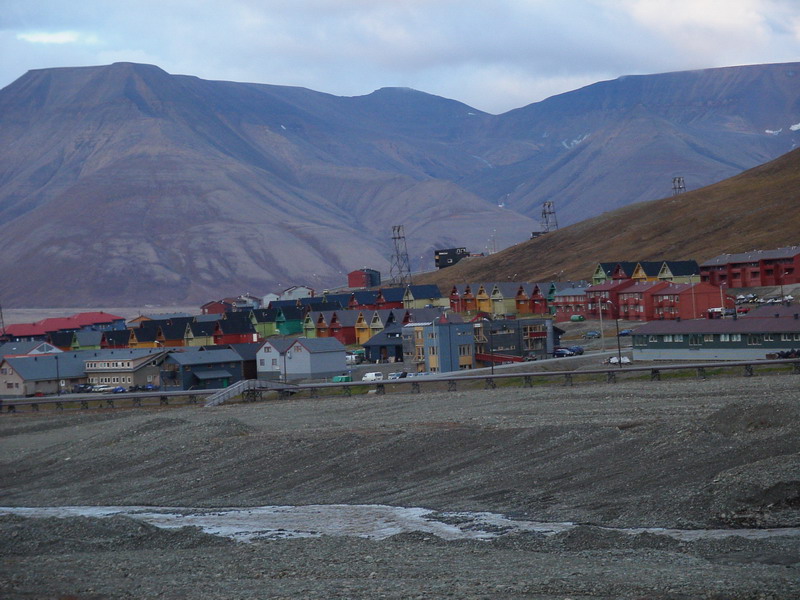
Colourful Longyearbyen housing
To offset the rather bleak landscape surrounding Longyearbyen, bright and colourful housing provides an attractive backdrop.
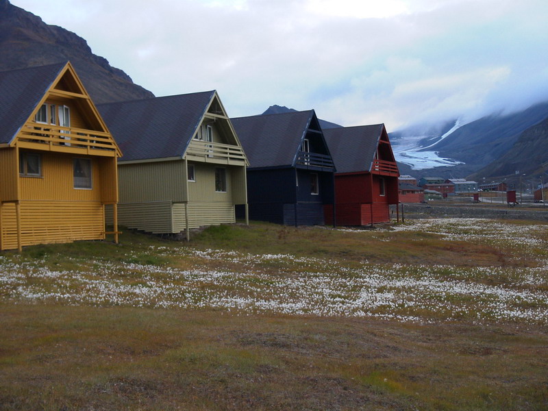
More colourful housing
Delicate arctic flowers cover all of Svalbard this time of year. In the background is the Longyearbreen Glacier.
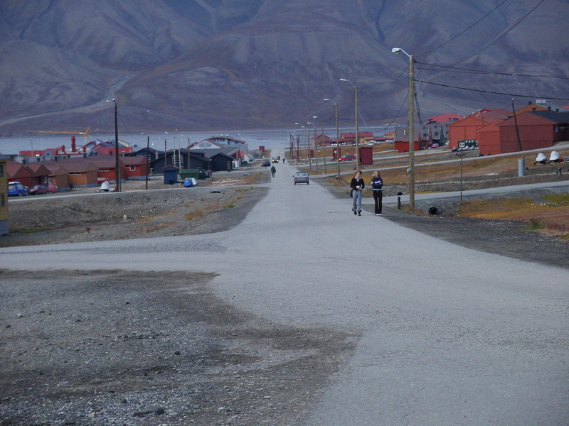
Dull light on Longyearbyen’s main road
Apart from the road to the airport, this is the busiest road on Svalbard.
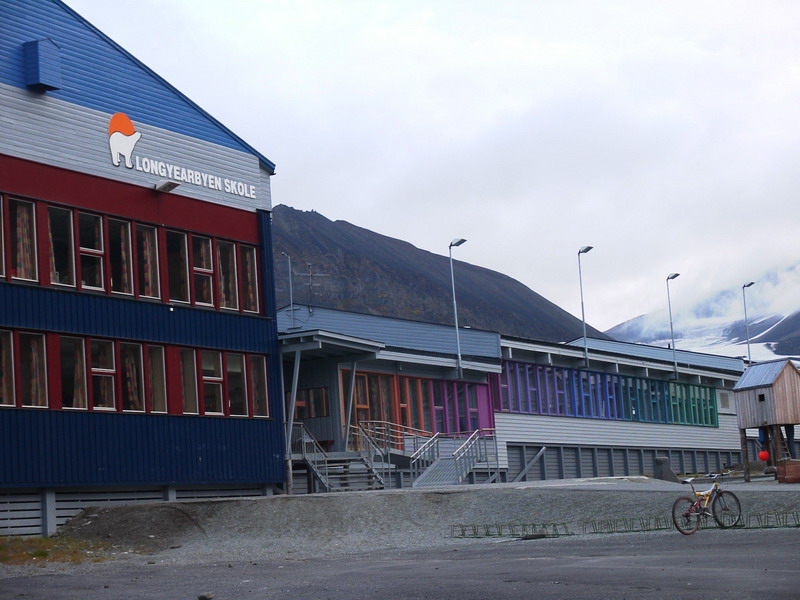
Longyearbyen School
Some 200 children attend this school in Longyearbyen.
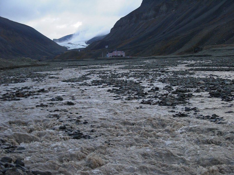
Muddy river from melting glacier
Meltwater from the Longyearbreen Glacier flows right through the middle of Longyearbyen.
Cracked ground
Due to the permafrost, everywhere you walk, you come across cracked ground.
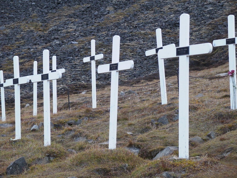
The haunted graveyard
A lonely group of graves lies at the base of a mountain of those who died of the Spanish flu in 1918. Scientists are still doing research as to the cause as the permafrost has probably kept the virus strain alive.
Longyearbyen
This is pretty much the main part of Longyearbyen.
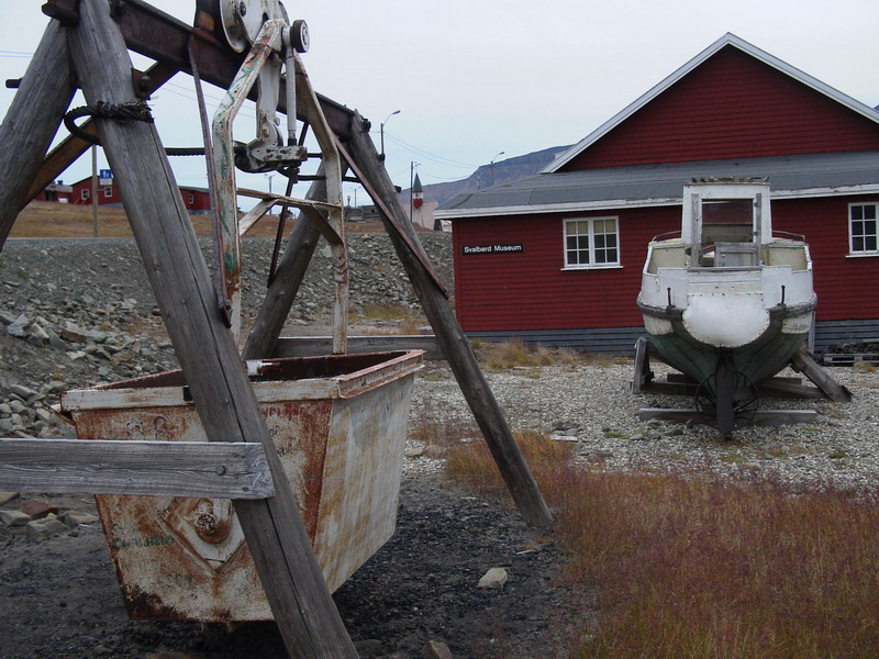
The Svalbard Museum
This little museum in Longyearbyen explains about the history of Svalbard and has stuffed animal displays of polar bears, seals and walruses. There is also a coal mining section. Unfortunately and surprisingly, most of it is in Norwegian only.
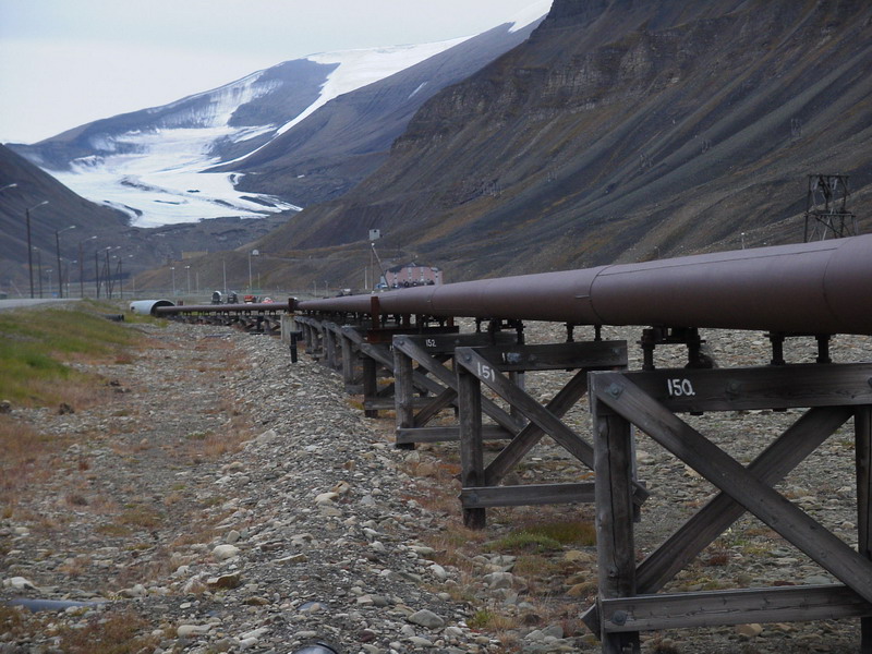
Over-the-ground services
No pipes are laid underground due to the permafrost.
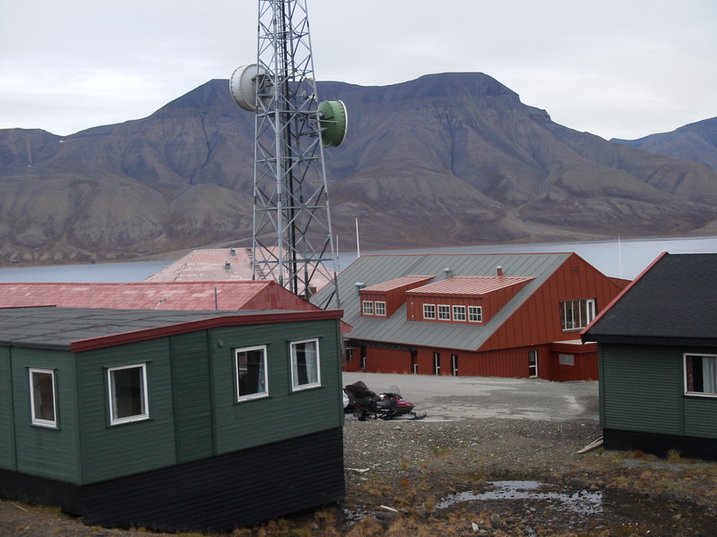
Telecommunications in Svalbard
Despite the remoteness, good telecommunications infrastructure provide Longyearbyen with good cellphone coverage and internet access. Better than most Australian cities!
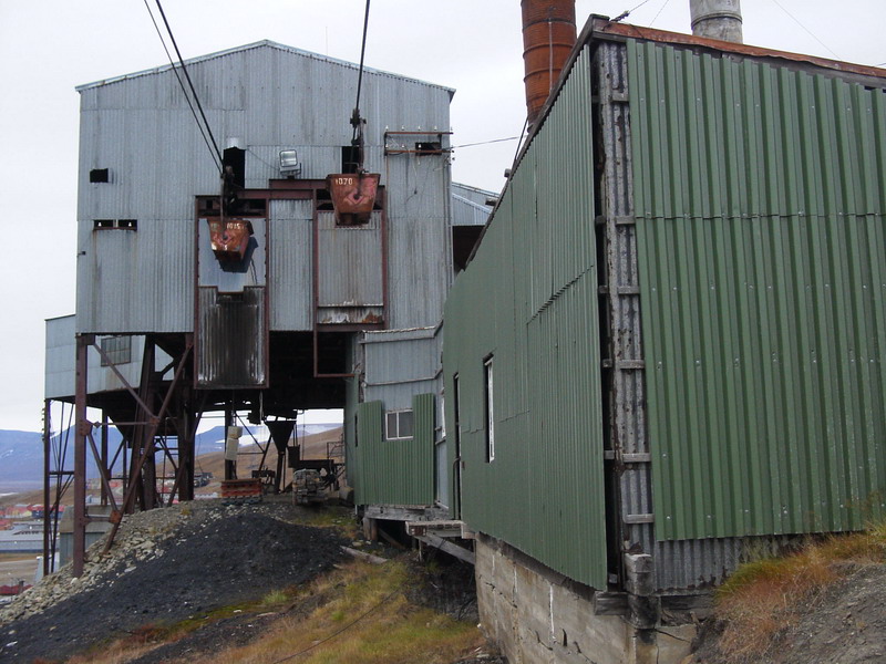
Coal cableway in Longyearbyen
Eerily quiet coal mining facilities are present everywhere around the communities of Svalbard.
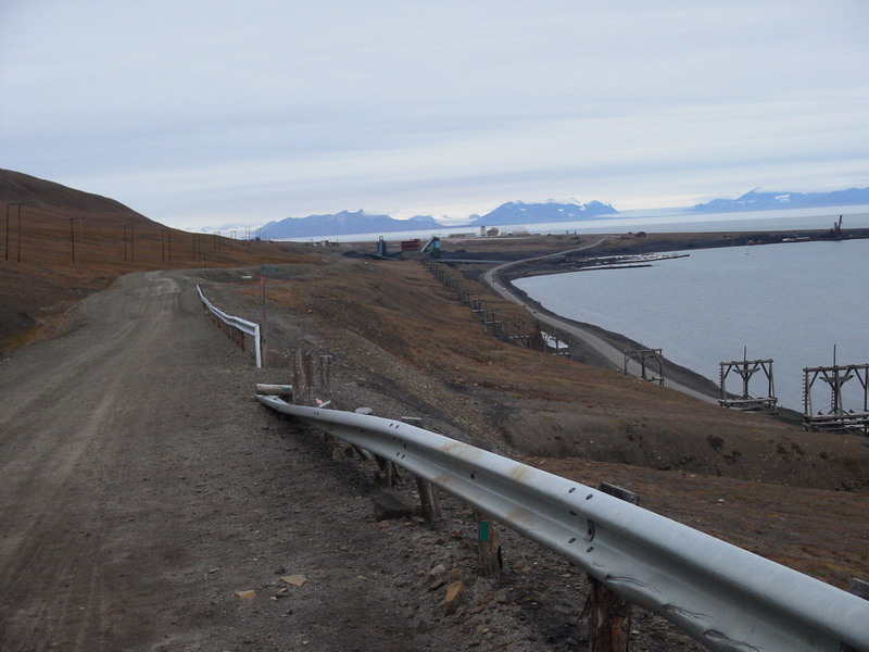
The Burma Road
The Burma Road is the hiker’s path from Longyearbyen to the airport and you are encouraged to bring a rifle with you in case of polar bear attack! In the far distance, the airport tower can be seen.
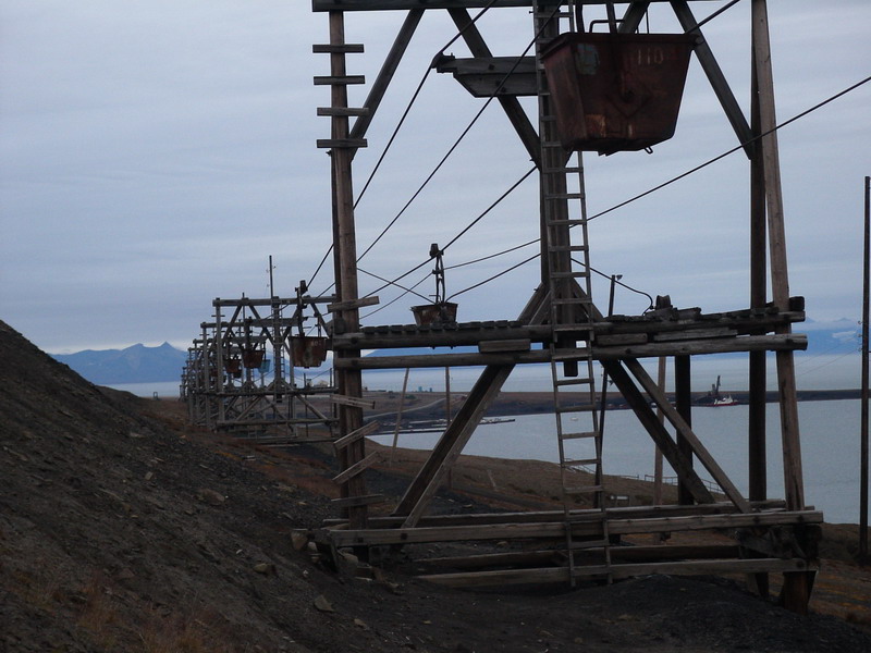
Coal cableway next to Burma Road
Along the Burma Road from Longyearbyen to the airport lies a disused coal cableway groaning and creaking in the wind.
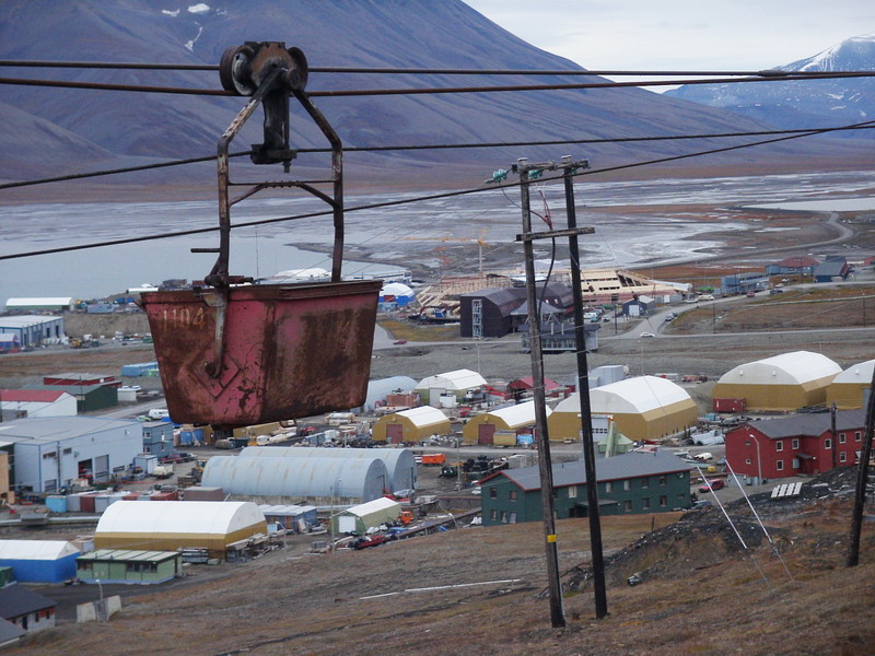
View of Longyearbyen from Burma Road
This comprises the industrial part of Longyearbyen.
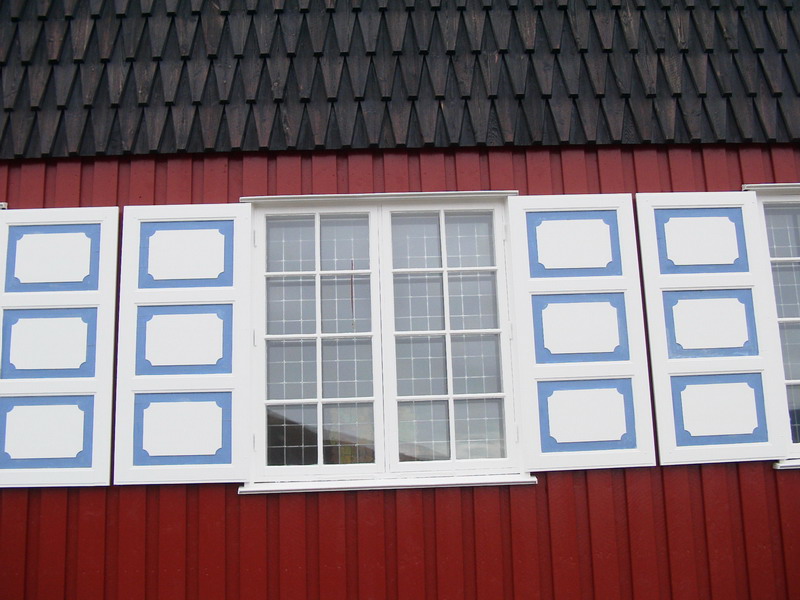
Window detail of Svalbard Church
The window features of Svalbard Church in Longyearbyen are quite colourful.
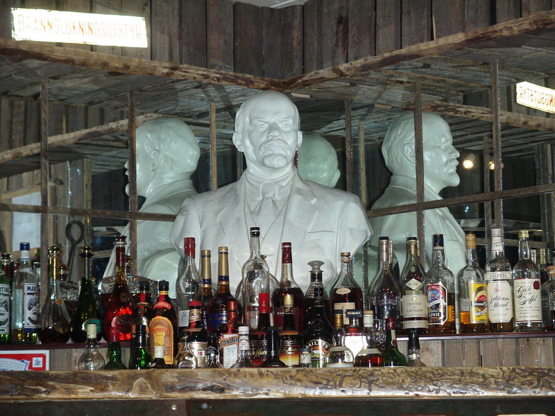
Lenin guarding the booze!
At the Kroa pub restaurant, Lenin agrees with the policy of rationing the alcohol for the locals! Svalbard is tax-free by the way…
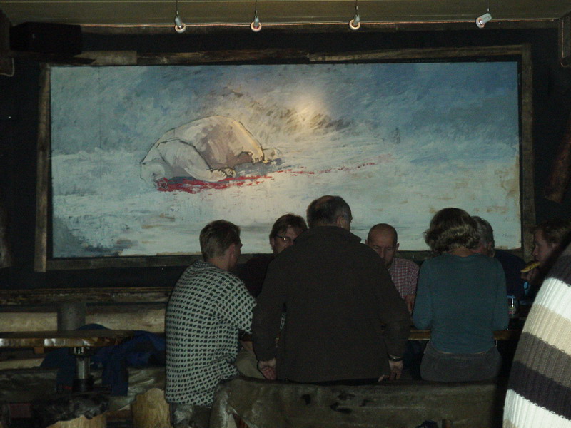
Unpleasant mural in restaurant pub
This pub restaurant served delicious food including great pizza, steak and seafood. Yes, whale and seal are on the menu. Strange choice of decor though…
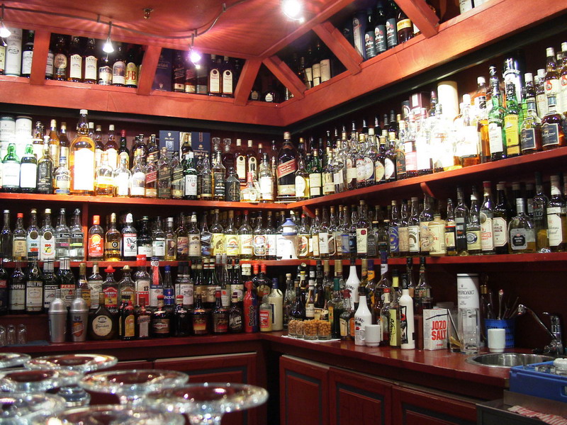
The Karls-Berger Pub
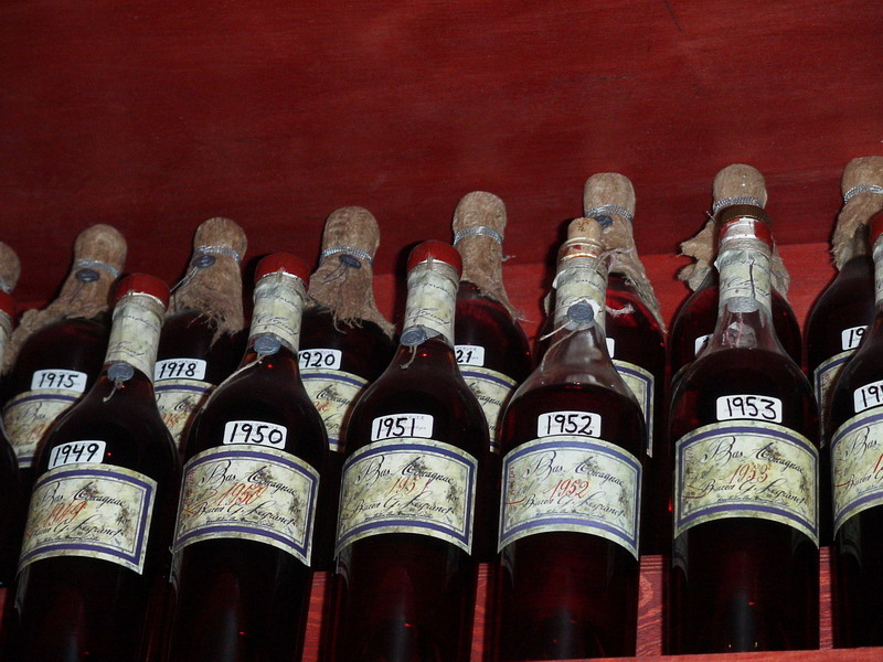
I have never seen such a display of alcohol in a bar. There were probably about 1,500 different bottles of booze here.
You can drink your age here!
At the Karls-Berger Pub in Longyearbyen, I drank a glass of 1969 cognac.
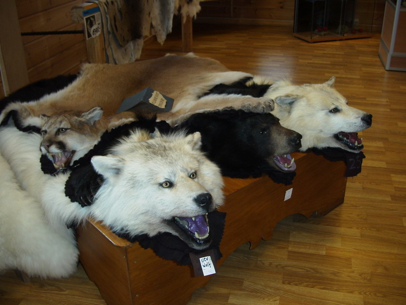
A shop in Longyearbyen
Many animal rugs are in display here at a shop in Longyearbyen.
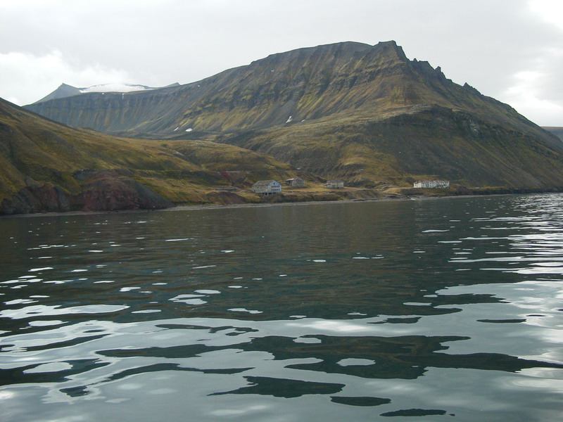
Boat trip to Barentsburg
On our boat journey from Longyearbyen to Barentsburg, the little abandoned town of Grumantbyen can be seen.
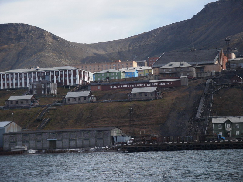
Approaching Barentsburg
Barentsburg, with a population of about 950, is Svalbard’s only remaining Russian settlement. Complete with Soviet-era relics, Russian cellphone service and Russian groceries, you would find it hard to believe you are in Norway.
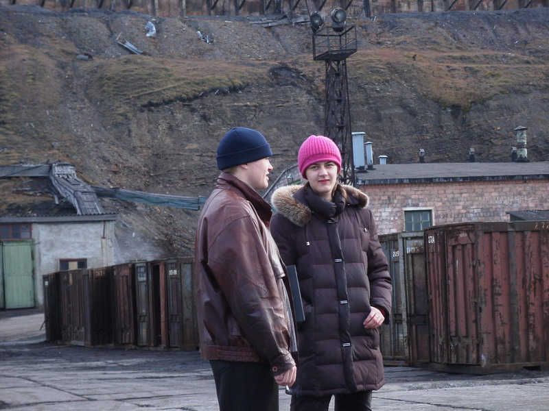
Our Russian guides
Our English-speaking Russian guides are here to welcome us. The woman is also the Barentsburg post office mistress, or so she says! August 29th is a special event. It is Miner’s Day where everybody in the town gets recklessly drunk and enjoys partying to live music and barbecues throughout the day and the night.
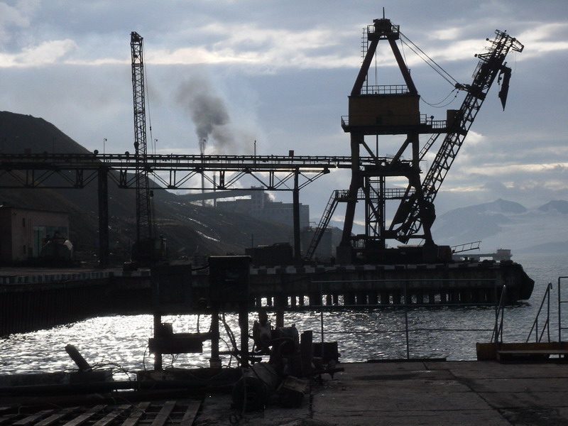
Coal industry at Barentsburg
Coal shipments have slowly declined since 1993 with flights to Murmansk no longer possible. The coal shipments are owned by the Trust Arktikugol which rebuilt the town of Barentsburg in 1948 after being both bombed by the British and the Germans in an effort to render the location useless for both sides.
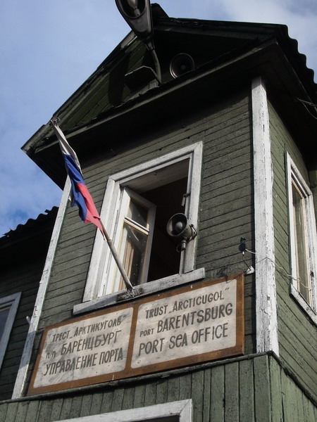
Barentsburg Port Sea Office
On arrival at Barentsburg, we pass by an unfurled Russian flag on the port sea office.
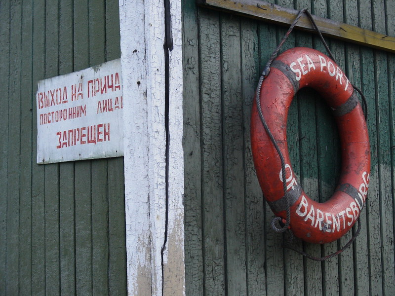
Detail of Barentsburg Sea Office
Barentsburg
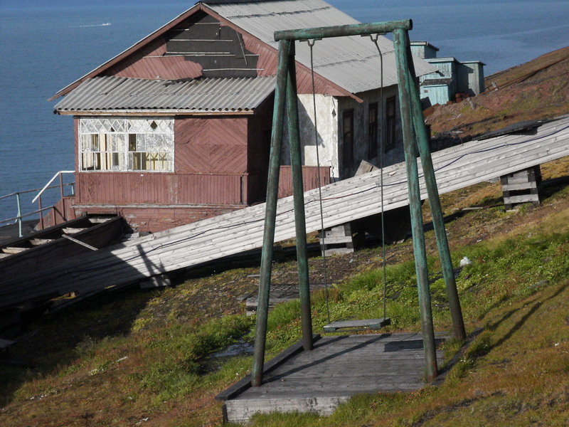
Lonely swing
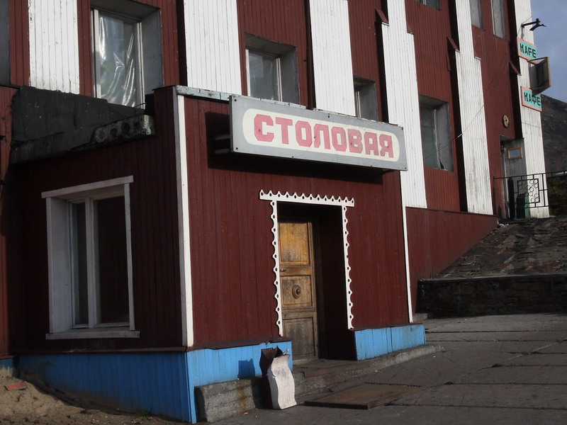
Canteen of Barentsburg
